
 I'm quite sure that most computer users have used/seen Google Earth in action, so I won't talk about how it works. This is just an amazing program, it has changed the way that we physically view our world and it is free although there are paid versions with more advanced features. This program is used everywhere from news to classrooms. Last week I attended the Summer 2008 American Society of Limnology and Oceanography ASLO conference, 90% of the sampling figures (excluding those produced by GIS software) included some sort of Google Earth image. Again, like all Google Products, the product is often updated, with high resolution imagery updates occurring approximately every 4 months. The latest update included:
- New navigation controls, but I sort of liked the older one better
- More 3-D buildings
- Watch the sun
- Street View
- High Res photos are dated, which was greatly needed
One more thing, this has been out for a while, but Google Earth has a flight simulator, all you have to do is press Ctrl+Alt+A, and begin flying around the world, enjoy!!! 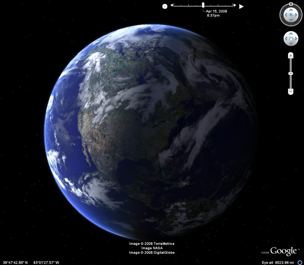

No comments:
Post a Comment